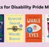
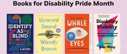
Books for Disability Pride Month
July is Disability Pride Month and we’re highlighting books that center disabled stories and creators. Browse our collections here: Middle School | High School

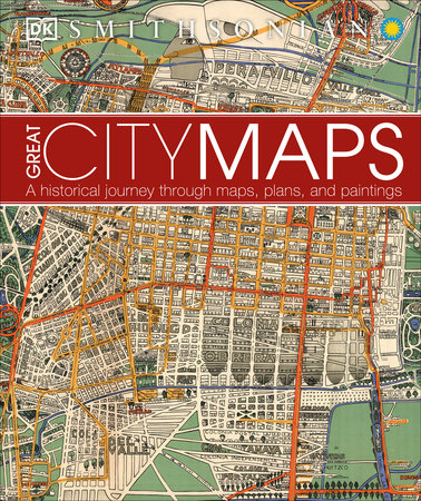
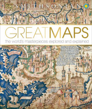
"A perfect companion to [DK]'s 2014 Great Maps, but also a worthwhile stand-alone purchase, especially where cartography books are needed that serve YA as well as adult patrons." — Library Journal (Starred Review)
"Historic, colorful maps show how great cities evolve." — Pittsburgh Post-Gazette
"A perfect companion to [DK]'s 2014 Great Maps, but also a worthwhile stand-alone purchase, especially where cartography books are needed that serve YA as well as adult patrons." — Library Journal (Starred Review)
"Historic, colorful maps show how great cities evolve." — Pittsburgh Post-Gazette
July is Disability Pride Month and we’re highlighting books that center disabled stories and creators. Browse our collections here: Middle School | High School